
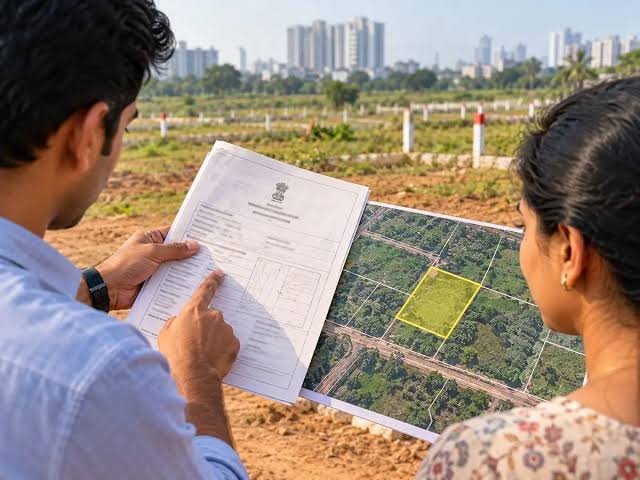
A plot survey report is a document, usually with a drawing, that records the measured position of a plot’s boundaries, its levels and the features on it, as surveyed on a particular date. To read it, start with the title block and notes, then check the north arrow and scale, then the boundary lines and corner points, then the levels and any structures. Most confusion comes from skipping the notes and the legend. This guide explains each part in plain words, and describes where Sail Survey Global, a land surveying company in Dubai, fits among land survey companies in the UAE.
What a plot survey report is for
Owners ask for a plot survey for many reasons: before design work, before building, to check boundaries or to record the current condition of a plot. The report is the record of what the surveyor measured. It is not an opinion on ownership, and it is not a legal document by itself. Its value is that it gives you, your designer and your contractor the same set of facts.
Start with the title block and notes
Most survey drawings have a title block, usually in a corner or along the bottom edge. It typically shows:
- The plot or project name and location.
- The client name.
- The survey date, which matters because the ground can change afterwards.
- The scale of the drawing.
- The drawing number and revision.
- The survey company’s name and details.
Read the notes next. They explain the coordinate system used, the datum for levels, the accuracy limits of the survey and anything that could not be measured. A note such as “area covered by vegetation” or “access restricted” tells you what the drawing does not show.
Check the north arrow and scale
The north arrow shows the orientation of the drawing. The scale tells you how a distance on the paper relates to a distance on the ground. If you print the drawing at a different size from the original, the scale bar, not the written ratio, stays correct. Use the scale bar when you check a measurement.
Read the boundary lines
The boundary of the plot is drawn as a line with points at each corner. Each point may have a number, and the report may list the coordinates of every point. Lines may also carry a length and a bearing, which is the direction of the line. Compare the dimensions on the drawing with the dimensions in your ownership or plot documents. If they differ, do not assume the survey is wrong or the document is wrong. Ask the surveyor to explain the difference and how the boundary points were determined.
Understand levels, contours and spot heights
Levels describe how high the ground is. A survey usually shows them in two ways:
- Spot levels: single numbers at chosen points, showing the height of the ground, a kerb, a floor or a structure.
- Contour lines: lines that join points of equal height. Lines close together show steeper ground, lines far apart show flatter ground.
All levels are measured from a datum, a reference height. Check the notes to see which datum was used, because levels from different datums cannot be compared directly.
Look at the features on the plot
Besides boundaries and levels, a survey may record existing buildings, walls, fences, roads, kerbs, manholes, trees and visible utilities. These are shown with symbols and line styles that the legend explains. If a feature matters to your project, such as a manhole near the plot edge, find it on the drawing and confirm that it is shown where you expect.
Understand coordinates
Coordinates describe the position of a point in a mapping system, usually as an easting and a northing. They allow the survey to be placed on a larger map and used with design drawings. The report should name the coordinate system. If your designer works in a different system, ask the surveyor how the data can be matched, and confirm this before design starts.
Know the limits of the report
A survey is a snapshot taken on one date. Later changes, such as new walls, excavation or a neighbouring development, will not appear. A survey also records what the surveyor could see and measure, so hidden utilities or underground items may not be included unless a specific investigation was part of the scope. The report cannot replace legal checks of ownership or approvals.
Questions to ask when you receive the report
- What date was the survey carried out?
- What coordinate system and level datum were used?
- How were the boundary points established?
- Was any part of the plot not accessible?
- Does the drawing show everything in the agreed scope?
- Which file formats are available for my designer?
Where does Sail Survey Global fit?
Sail Survey Global, registered as Sail Real Estate Survey Services, is a land surveying company based in Dubai. When you receive a report from any provider, including Sail Survey Global, treat the first review as a conversation: ask the survey team to walk you through the notes, the boundary points and the levels, and to confirm which deliverables are included.
Common mistakes to avoid
- Skipping the notes and legend.
- Using the written scale on a reprinted drawing.
- Comparing levels without checking the datum.
- Treating the survey as proof of ownership.
- Using an old survey after the site has changed.
Frequently asked questions
How do I read a plot survey report?
Read the title block and notes first, then the north arrow and scale, then the boundary points, levels and features.
Is a survey report proof of ownership?
No. It records measured positions. Ownership is shown by the proper ownership documents.
What if the survey differs from my plot document?
Ask the surveyor to explain the difference and how the boundary was set out.
How long is a survey useful?
It is accurate for the date it was taken. If the site changes, the survey may need to be updated.
